Baltimore City Tree Canopy by Parcel Size and Land Use
Katie Lautar (Baltimore Green Space), Taylor Smith-Hams (Blue Water Baltimore)
2022-10-17
I. Introduction
The Forest Conservation Act (FCA) only applies to disturbances of at least 5,000 square feet. This means that parcels of land less than 5,000 square feet are not covered, except in cases where multiple small adjacent vacant parcels are purchased, combined, and developed together, amounting to 5,000 square feet.
Given FCA’s limited scope, we were curious to know roughly how much tree canopy in Baltimore City, MD is not protected under FCA and could be vulnerable to loss. And, who owns the unprotected tree canopy?
II. Methods
First, high resolution (1m^2) land cover data created by the Chesapeake Conservancy and many partners were downloaded via: https://chescon.maps.arcgis.com/apps/webappviewer/index.html?id=9453e9af0c774a02909cb2d3dda83431. Additional details on the The Bay-wide mapping effort, and land cover change project can be found here: https://www.chesapeakeconservancy.org/conservation-innovation-center/high-resolution-data/land-cover-data-project/
Next, the parcel data for The City of Baltimore were accessed via the Maryland Department of Planning: https://planning.maryland.gov/Pages/OurProducts/DownloadFiles.aspx. Because the negative space between parcels, or Public Right of Way (PROW), is left as undefined blank areas in Maryland’s PropertyView data, a PROW layer was first created by Erasing the parcel boundaries from the city-wide extent. The PROW is where street trees live, so it is an important part of the overall tree canopy to account for. That PROW feature was then merged back into the parcel data set, creating a wall-to-wall coverage of property ownership. The land cover data were summarized within every property parcel using ArcGIS’ Tabulate Area tool.
III. Results
A. 12-Class Land Cover

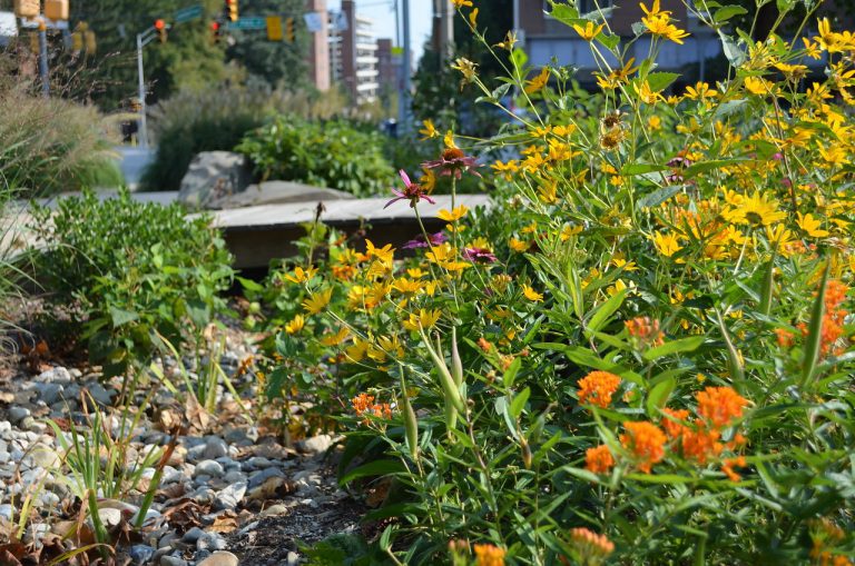
The Chesapeake Conservancy data show that 28.48 % (or ~650 million ft^2) of Baltimore City is covered by Tree Canopy, Tree Canopy Over Structures, Tree Canopy Over Other Impervious Surfaces, or Tree Canopy Over Roads.
We want to understand who owns the tree canopy in the city to better understand how it is or is not protected. The parcel data set provides a land use code, but we created broader classifications to make the information more user-friendly. For example, commercial sub-types can be re-grouped as just ‘commercial’ and in an even coarser classification, commercial land can be described as simply ‘private’.
B. Land Use and Parcel Data

The vast majority of parcels in Baltimore City are private residential. There are 2.07582^{5} privately owned residential parcels.
Among Public land, the City-owned land is the largest category.
| Land Use Category | Public |
| PROW | 1 |
| Federal | 2 |
| State | 191 |
| Recreation and Parks | 428 |
| City | 10258 |
C. Tree Canopy Cover by Ownership

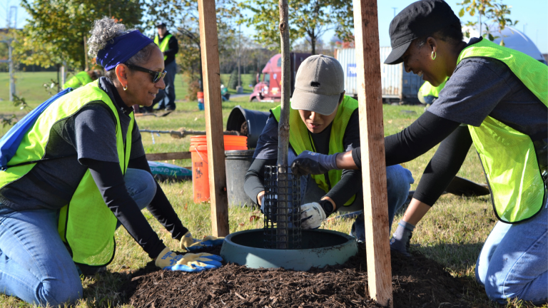
Given that the vast majority of parcels in Baltimore City are private residential, it is unsurprising that by far most of the city’s tree canopy is on private residential land. So understanding the motivations, capacities, and interests of residential landowners in protecting, maintaining, or cutting down trees is essential for urban forest sustainability. As stated in the introduction, the Forest Conservation Act (FCA) kicks into effect when disturbances of 5,000 square feet or more are proposed. But if property owners engage in disturbances less than 5,000 square feet, the trees on their land are unprotected under current regulations. This means it is possible for a landholder to remove old-growth trees or an entire forest slowly over time without regulatory oversight, so long as 5,000 square feet is not disturbed at any one point in time.
IV. Conclusion
Tree canopy is not well protected. Without additional regulations protecting individual trees on private and public property, today’s tree canopy is possibly at risk. Inaction will plausibly result in losing tree canopy and its myriad of benefits.
Analyses prepared by Dexter H. Locke, PhD [email protected] USDA Forest Service
Questions? [email protected]
compiled on 2022-10-17 06:41:21